[ad3]
The Amiata is an extinct volcano located inland in the center of Tuscany in Italy, we thought it was worth a visit to see what it’s trails are like. We picked it as a place to ride as recent rumours can be confirmed about a new lift serviced bike park being built which will be opening next year.

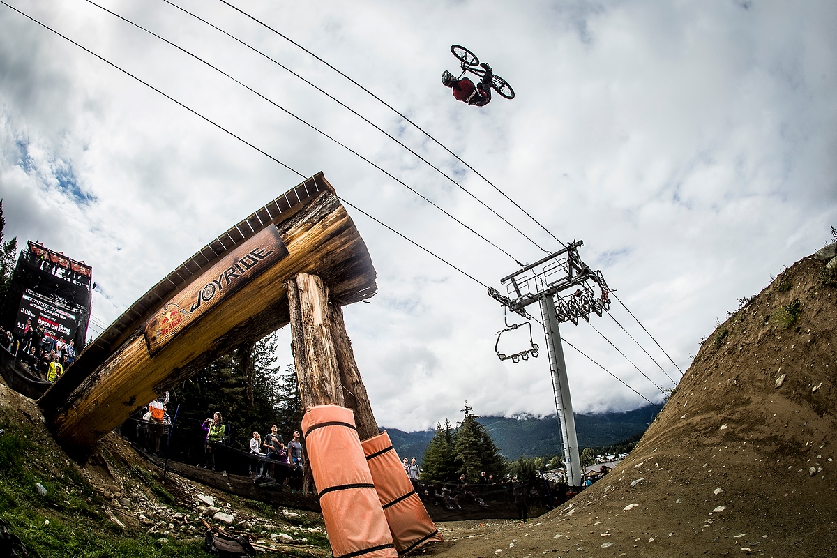
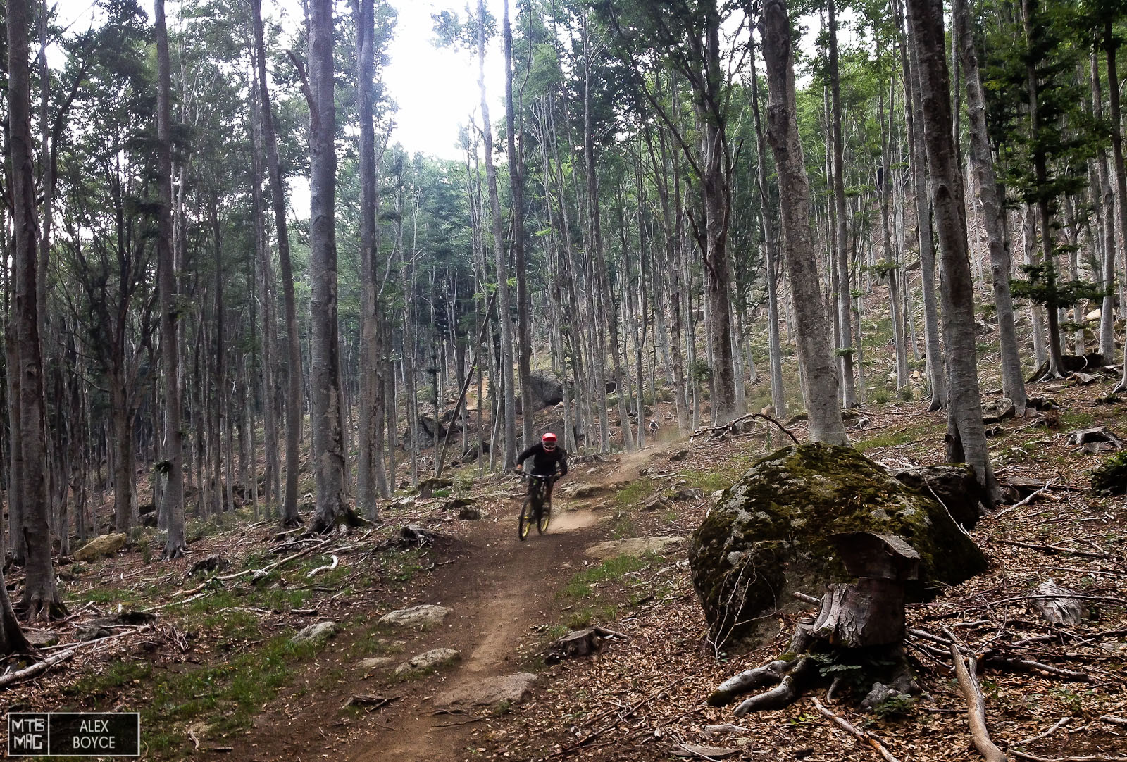
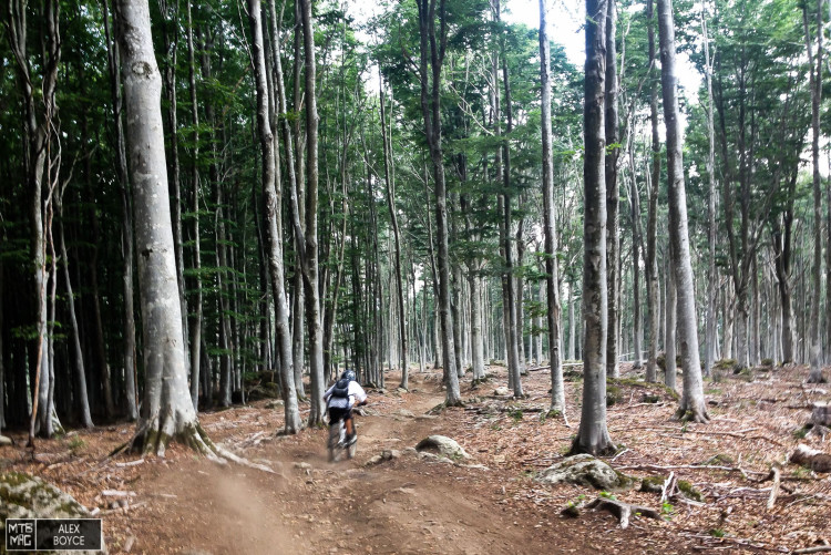
Typical perfect Amiata trail conditions on the DH track.
The Amiata is unusual in the sense that it rises to 1724 metres and is unique in the fact that there are no other high mountains around it. This means the volcano has flanks that drop more than 1000 metres. The fact it is located far south also means that it has a ridiculously long riding season, between late April to October, riding conditions are perfect. With trails from Race level DH, to very long Enduro and cross country trails, it has everything that one might want for a weekend riding.
Stats
Start Point: Refuge Cantore
Season Length: Early May until Late October
Ideal Bike: 160mm Enduro or DH bike for the race track
Total Amount of Trails – 9
Total descent – 1.210 mt
Total length of all trails – 36,1 km
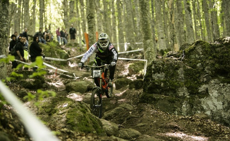
Racing in the past on Amiata DH track on rock and loam.
On-board Video
Amiata Trail Hunt from MTB MAG on Vimeo.
Map
The climate of the Amiata is at complete odds with that or the surrounding region, it can be 35 degrees in the valleys around and 20 degrees at the trail heads, perfect temperatures for riding. With a loam like trail bed in most places, roots if you want them and a rocky substrate, it just about has the perfect base for any type of trail that is built on it. The trails that exist so far are around 2-7.5 km in length and suit all skill levels. Weather is normally stable and predictable as it is a loan extinct volcano it does not tend to attract heavy cloud banks and bad weather.

A map of the current trail network.

Current uplifts are with a shuttle with enough space for 12 bikes at a go, turn around time is around 1-2 descents per hour, depending on the trail you choose to ride. Descents can last upwards of 20 minutes.
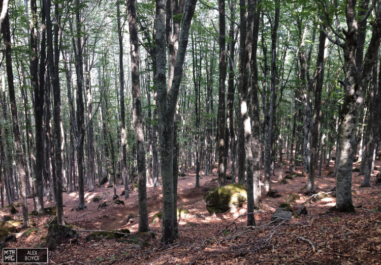
The woods are perfect with rocks and space between the trees.
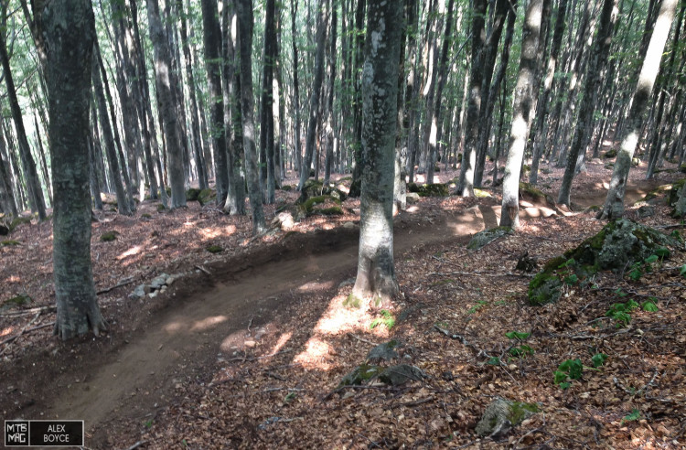
The start of “The Lungo.” Really inviting first corner.
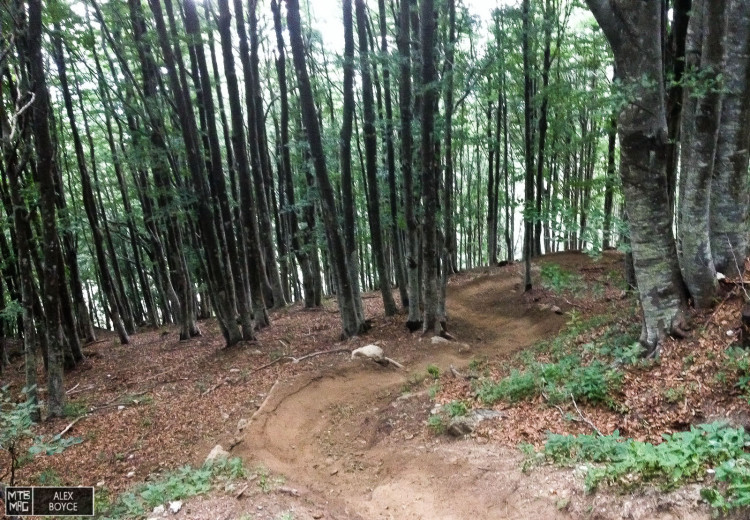
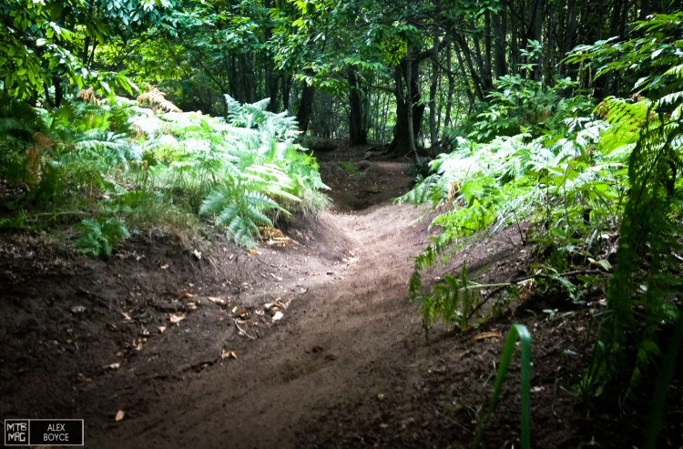
Then it is just corners through the woods.
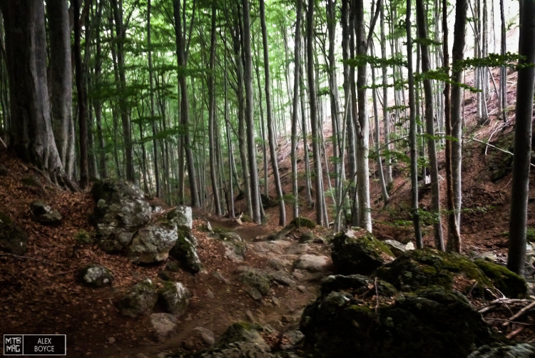
Parts of the forest have been harvested, which makes for some great possibilities for trail building.
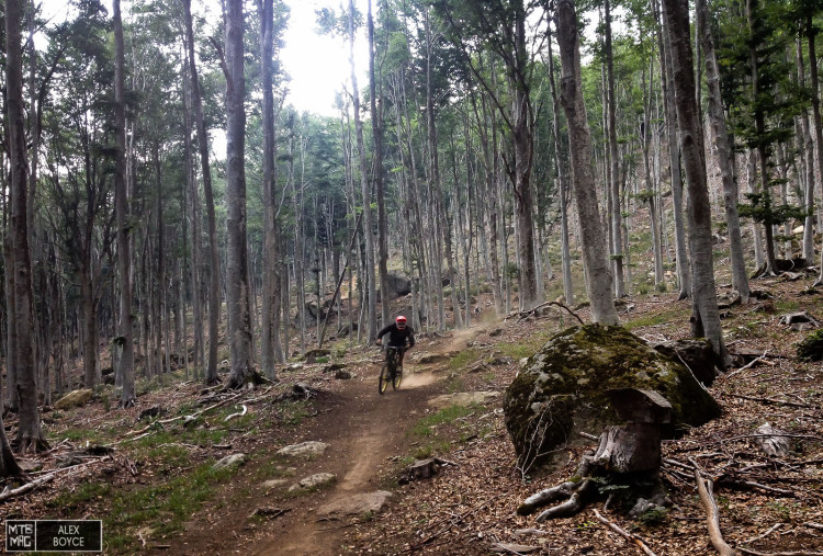
The long trail here widens out and is fast and flowing.
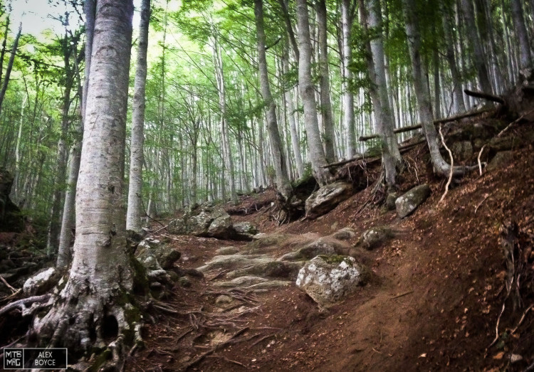
There are different routes down the mountain which here show a few technical sections.
Enduro style rock gardens.
The substrate here is rock with soil on top, the soil is perfect after a brief shower. There are no braking bumps or ruts to speak of.
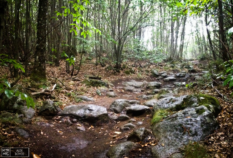
This is a pretty average rock section, with ample line choice for all levels of rider.
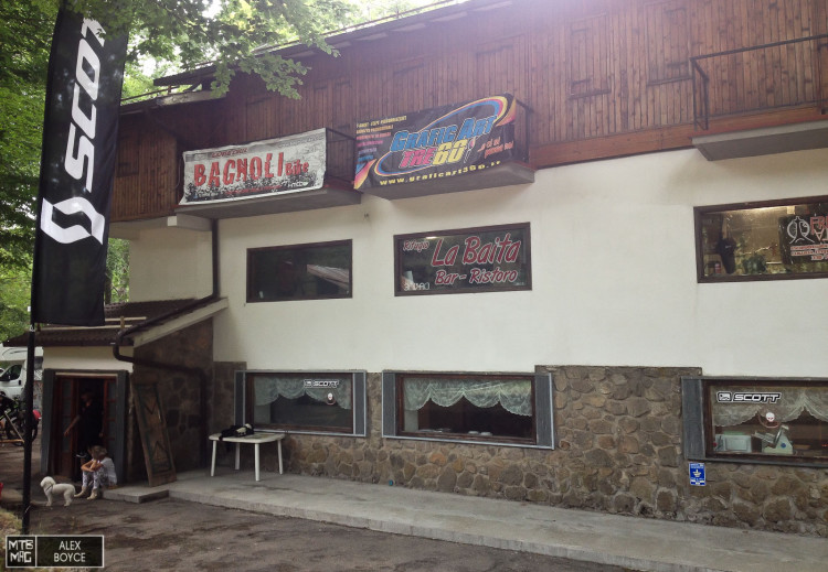
The bike uplift base in Cantore.
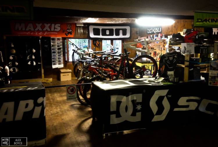
Ample bike service and rental point.
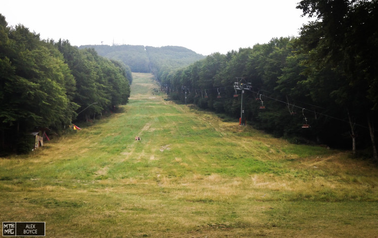
The DH track comes out of the woods here, looking up to the 1724 mt summit that is a ski resort in winter.
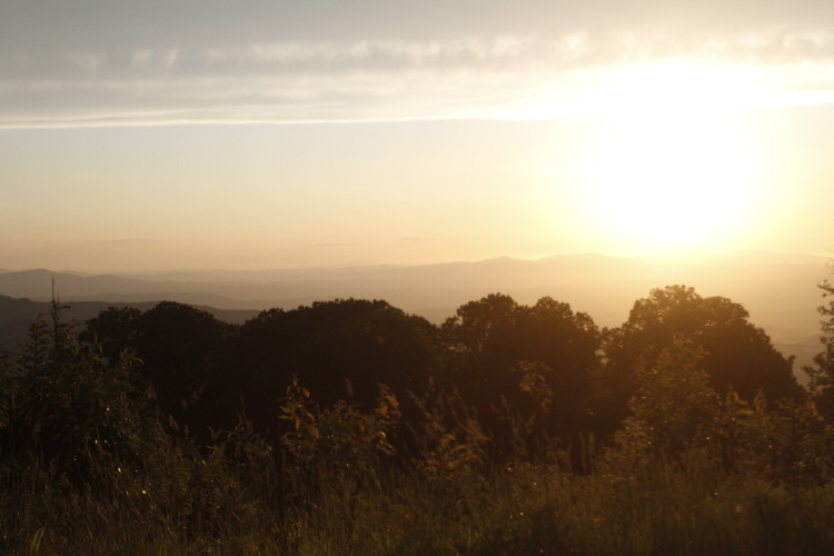
The view across Tuscany half way up after a days riding.
[ad45]